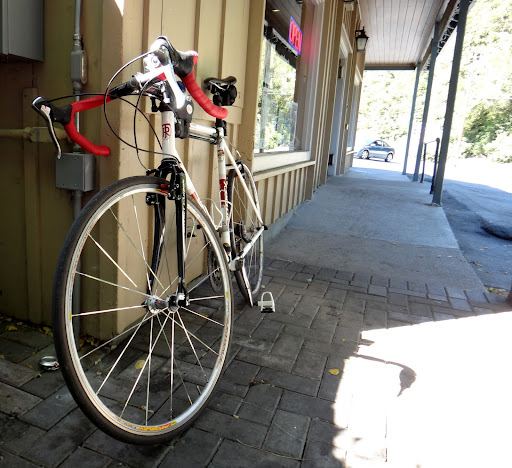
This is the 4th time my Ritchey Breakaway goes to Bay Area.
Originally my plan was to ride Mt. Hamilton but I decided to change it last-minute and go to Tunitas Creek. It was a great day, with the weather in mid-70ies. I started from Woodside, a town filled with cyclists of all types, shapes and sizes – they were everywhere, most of them finishing their rides (I got there around 1PM). I assembled my Ritchey and was ready to ride – I was going to follow the route described in one of the Bay Area cards – they look like this (the one shown below is for the ride I plan to do tomorrow):
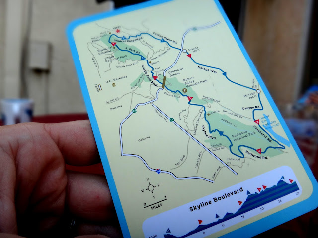
The cards are fantastic because they show a simple map with all important turns and mile markers and orienteering points indicated clearly, along with elevation, water/food stops and other details relevant to cyclists. They also fit in the back pocket of a jersey and are sweat-resistant. Highly recommended.
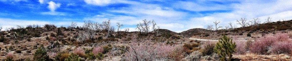
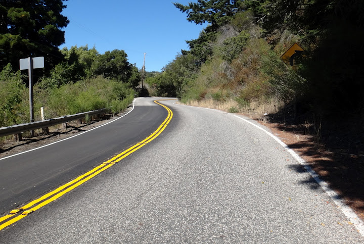
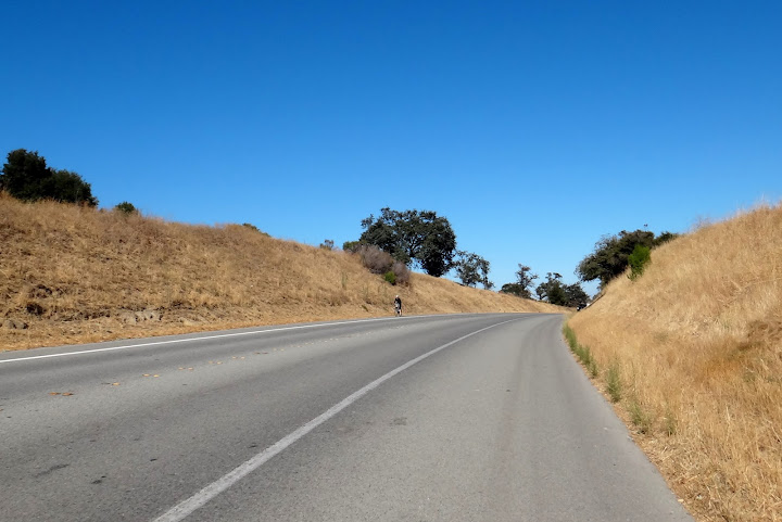
The climb up Tunitas Creek (along Kings Mountain Rd.) towards Skyline Blvd. was gorgeous.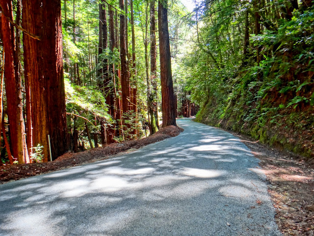
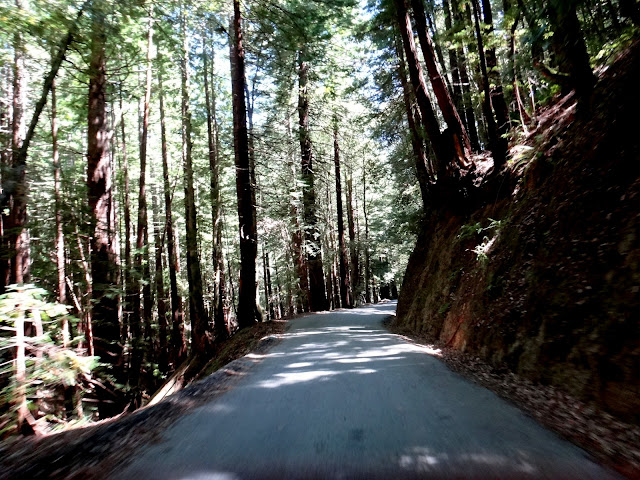
The descent was fast and a bit tricky – the road is narrow, and there is a blind corner after blind corner – rarely do you see further than 50-100 yards.
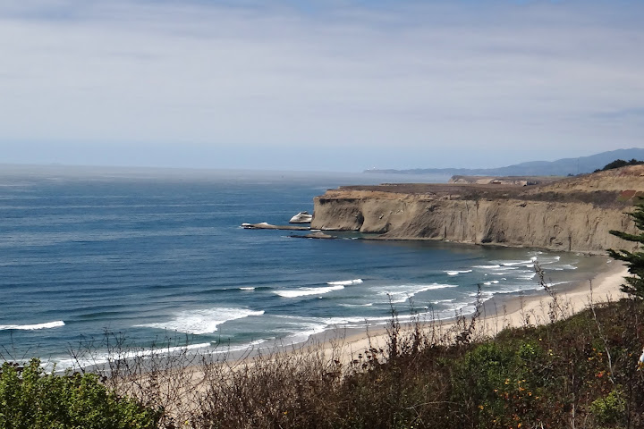
After the descent I got on Cabrillo (Hwy 1) that runs along the coast.
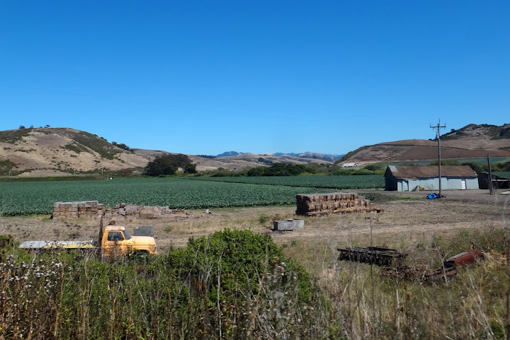
After riding through some gorgeous farmlands I started to feel the 90-mile 7,000ft club ride I did the day before – my legs were sore, I was getting tired and hungry.
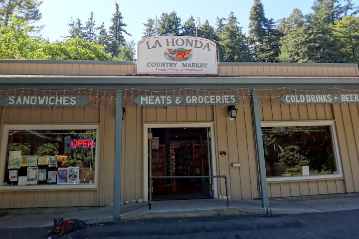
I stopped at La Honda market (kindly indicated on my map card) for some lunch.
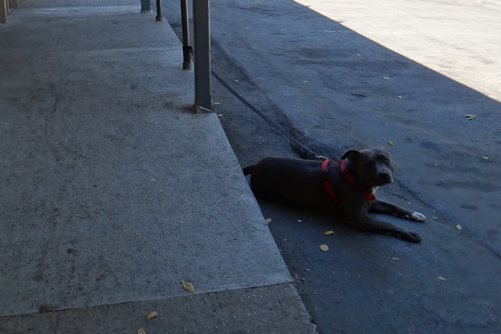
Yes, it is a dog-day afternoon – this is how I feel too.
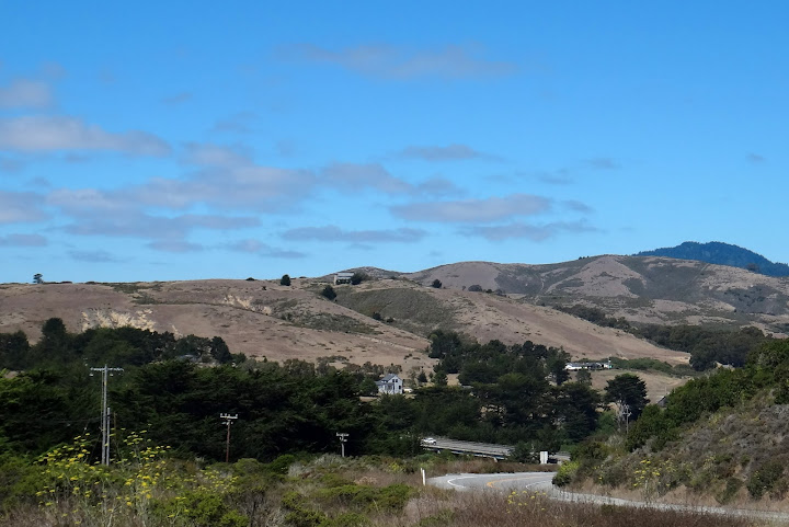
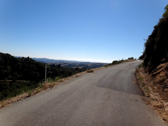
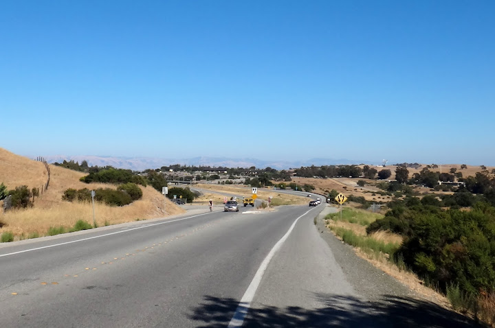
Soon I was refueled and up and riding on La Honda Rd.
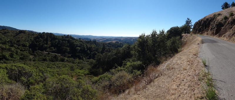
I took the Old La Honda Rd., famous among local cyclists – except I was doing it backwards and going at touring pace (easy and with a lot of photo stops).
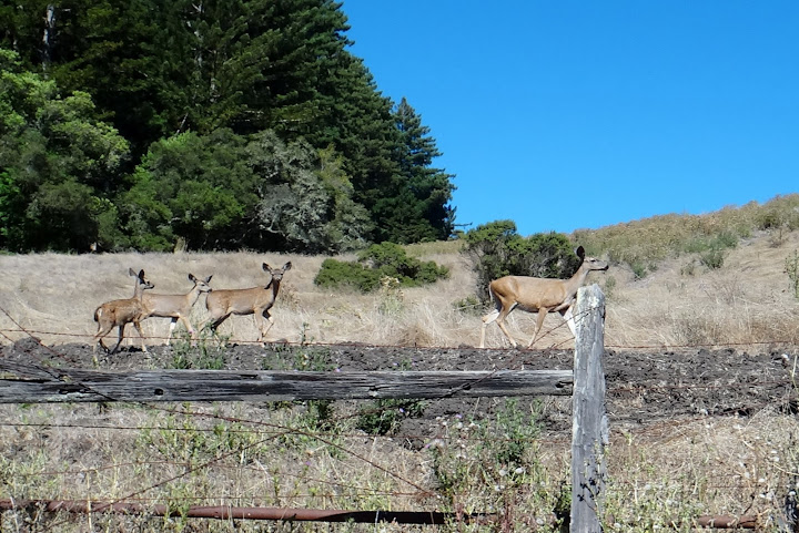
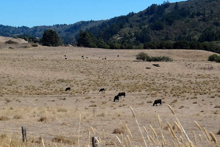
A herd of deer at the top of Old La Honda Rd. I almost hit one on the descent.
After a quick descent I was on Sand Hill rd. heading towards Stanford campus/Palo Alto.
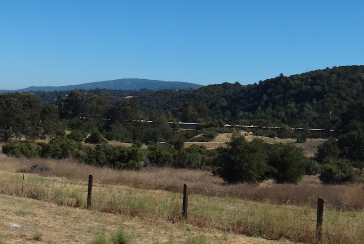
View of Palo Alto in the distance.
The photo above is of Stanford Linear Accelerator (3Km long). I have an experiment here in November.
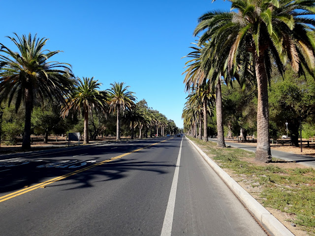
Stanford campus: Palm Drive.
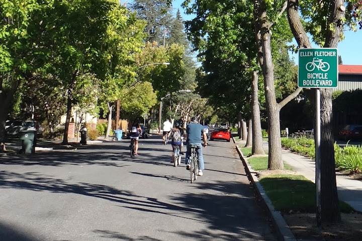
We need more Bicycle Boulevards like this one in Palo Alto!

Eventually I have had enough of exploration and rode back to Woodside. It is virtually impossible to get lost with those little card maps. 56 miles and almost 5,000 ft climbed, but felt longer and tougher.
